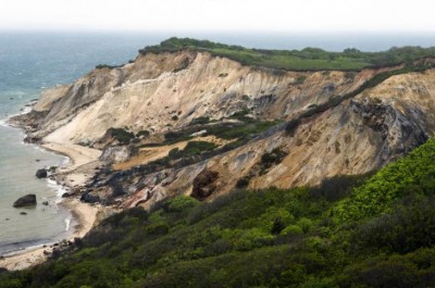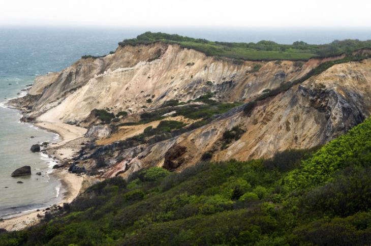
Geologists with the United States Geological Survey will remap the area now that the lighthouse has been moved.
Timothy Johnson
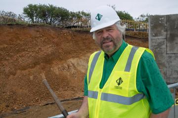
While the Gay Head Light was being moved to safety last week, geologist Byron Stone was at the site working on a project of his own. A major excavation surrounding the lighthouse has revealed never before seen geologic layers that Mr. Stone, a researcher for the United States Geological Survey, hopes will shed light on how and when the Gay Head landscape was created. “Nobody knew that this was here,” Mr. Stone said last Thursday, as bulldozers rumbled around the site and workers prepared to move the lighthouse away from the eroding clay cliffs. Mr. Stone stood beside a large wall of soil, clay and rocks that extended the length of the excavation.
“When I saw the cut, I couldn’t believe it,” he said. “These beds here are just spectacular.”
At the eastern end of the site, at the bottom of the exposure, about 15 feet of ancient white sand underlies several more feet of brown sand that Mr. Stone said indicates a former pond or lake. Both of those layers tilt about 80 degrees to the north, likely as a result of melting ice. Above the tilting layers, a relatively flat layer of cobble from an ancient riverbed supports yet another layer of brown sand from a later body of water. At the top of the exposure, about three feet of glacial till, peppered with rocks and boulders, is covered by a few inches of topsoil.
Mr. Stone’s attention focused mostly on the layer of till near the surface, which he says could help peg the date for when the last continental ice sheet retreated.
“We know now, from the excavation, that the till with boulders is at the top of the pile, and that’s proof for sure that the last ice sheet went over that pile,” Mr. Stone said. He added that boulders found within the glacial layer are just like the ones in the ocean to the east, which are known to have been left by the last ice sheet. The glacier is thought to have extended just south of Noman’s Land and Block Island.

