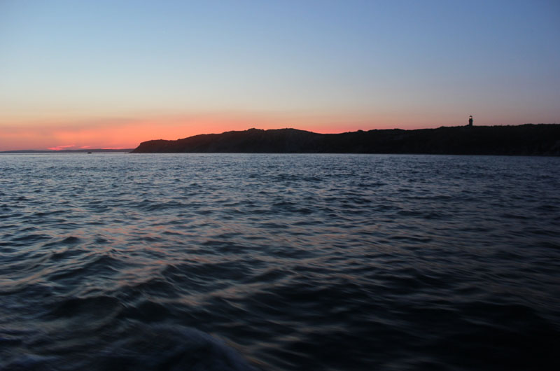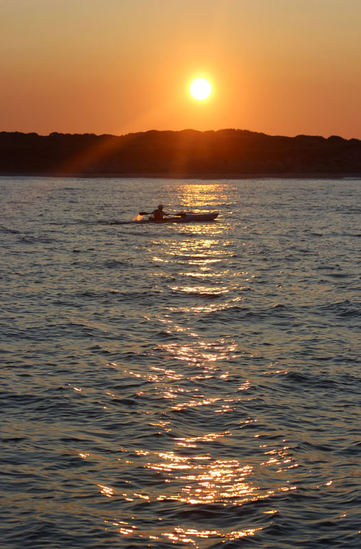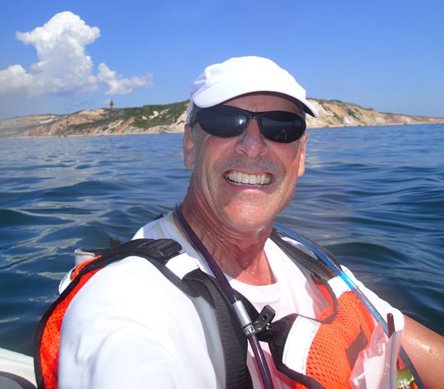
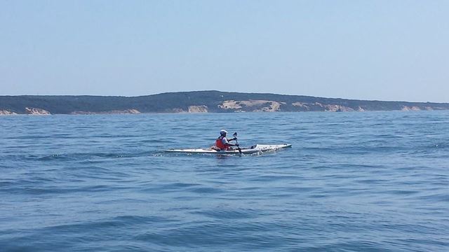
Start, 5:30 AM
When I first met with members of the Save Gay Head Light committee in early April, I brought along the Eldridge Tide book, with two weekends in August highlighted where the tidal currents during daylight hours would be suitable for a kayak circumnavigation of Martha’s Vineyard, starting and finishing beneath the Aquinnah Cliffs. From those dates we selected Saturday, August 9th as the best from a public relations and fundraising standpoint…. and the clock started ticking. After decades spent on the water, I know full well that any date circled for an event months in advance is a veritable roll of the dice; one day may be glass calm, another blowing 20+ knots, another raining… all I could do was build up the training miles, and keep my fingers crossed.
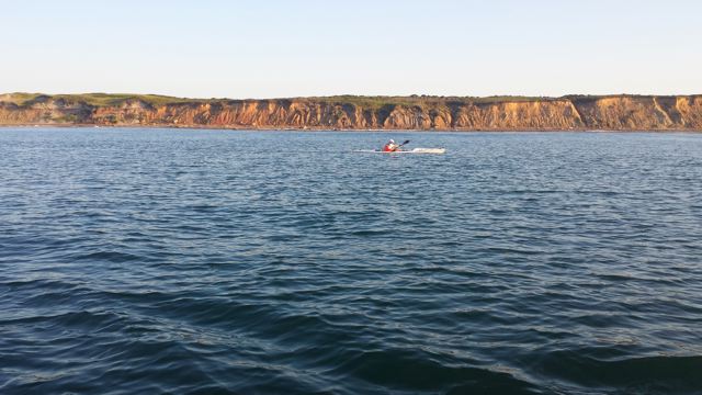
Saturday, August 9th turned out to be everything I’d dreamed of– and much more. Winds were forecast to be light out of the northwest all day– not the ideal direction, but the velocities were so low that the wind would essentially be a non-factor. Conditions were placid for the pre-sunrise start and first leg down the Moshup Trail shore to Squibnocket, and nearly flat out in the Atlantic, with the lightest of crosswinds. However, due to the near full moon the tidal currents were running stronger, and not only was my progress slowed to Squibnocket, it was also negatively impacted further east in the Atlantic– something I’d never encountered before.
Cursing GPS
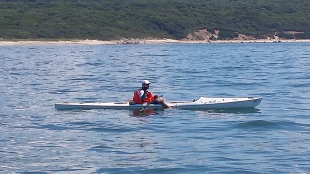
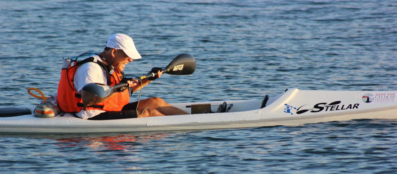
One early snafu was that my GPS had NOT begun navigating the route I’d programmed in when I hit the “Enter” (Start) button off the Cliffs at 5:30…. since it was still dark then, I couldn’t see the screen– and thereafter was going straight into the sun which also made the screen impossible to discern. This photo was taken after I’d discovered the problem and tried hitting a few buttons (which I have to do with the tip of my paddle blade, since I can’t reach them by hand)… but to no avail; I was getting none of the data I should have– time, speed, average speed, distance to next waypoint, estimated time to next waypoint, and total distance– as well as the course line to follow. This would have been an unmitigated disaster had I not also had the Garmin heart rate monitor/GPS watch on the footstrap; while that only displayed heart rate, speed and distance in the window, it collected additional data for retrieval later– so ultimately I was still able to get total time and distance at the Finish.
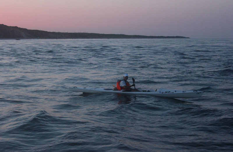
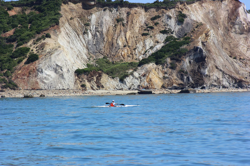
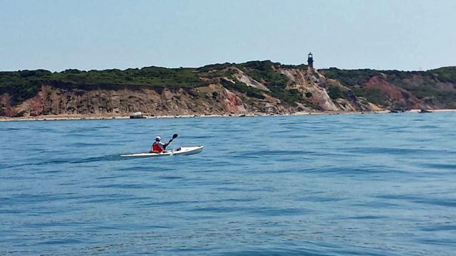
Passing Squibnocket Point
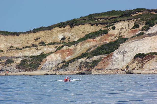
Rather than making my intended 5.5 mph, speed was 5.0-5.2… which was troubling, since I really needed to reach Wasque Point by 9:30; I ended up pushing harder than planned as I watched that deadline approach during the long stretch down the south shore. Once off South Beach and Norton Point, the speed did go up as expected; however, to my shock and dismay that current was running in through the Norton Point breach– but not continuing on around Wasque as I’d anticipated; in fact, the tide had just turned at Wasque and was beginning to run south into the Atlantic. That was an exceptionally demoralizing “turn” of events, as it slowed my progress along East Beach back down to 5 mph or less, and forced me to paddle harder than I’d intended. When I made landfall just south of Cape Poge at 10:35, Mile 27, I was wiped out– and somewhat worried about how I was going to get through another 24 miles.
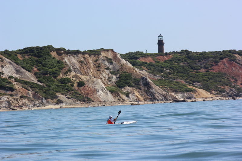
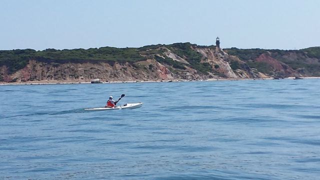
Rounding Wasque Point
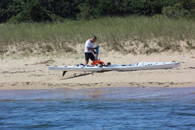
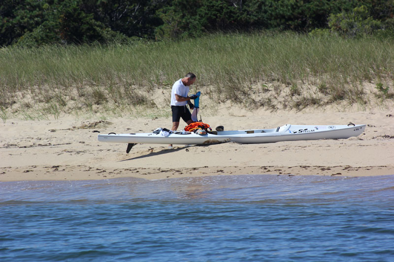
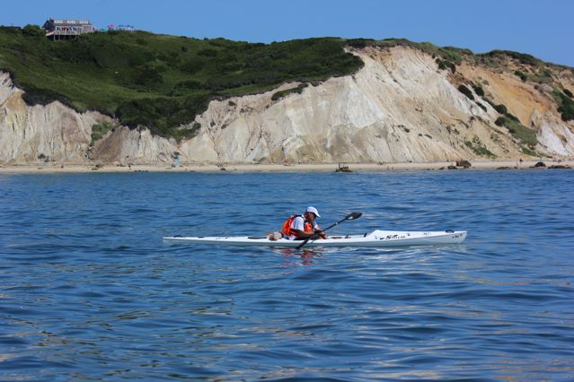
Half-way Break, Cape Poge
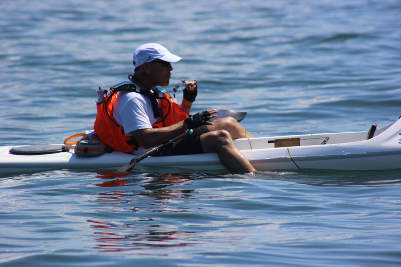
The break on the beach was not exactly restful, as I did a quick blood sugar check– 95, which meant I would take no insulin for the second half of the trip; ate two sandwiches and a banana as fast as I could, refilled my two fluid reservoirs from extra bottles of Gator Ade and water carried under the aft hatch, gulped water and hopped “back in the saddle”. My first chase boat– JUNO of Menemsha, captain Walter Teller, crew Mitzi Pratt and Monina von Opel– passed the baton to ZEPHYR of Edgartown, captain Chris Reed; my neighbor Tad Thompson who had ridden aboard JUNO to photograph, transferred to ZEPHYR, joining Chris, his wife Molly, and my brother and sister-in-law, Warren and Debbi Gaines as the support crew for the second half.
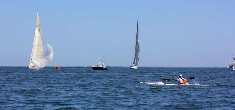
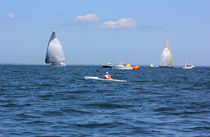
Approaching 12-Meters
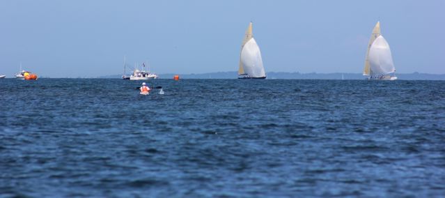
At 10:55, we were off around Cape Poge– and smack dab on a converging course with the 12-Meter Regatta taking place along the direct line to East Chop. Mercifully, winds were light and the boats quite spread out, so I didn’t have to detour much to the south to avoid them. Thereafter, it was a straight shot to East Chop, watching the GPS for the first hint of the anticipated ebb current. Just as in the training paddle I’d done for this leg, the current didn’t kick in until I passed the Steamship pier…. but once speed ticked up over 6 mph, I knew my day would get progressively easier. It was predictably sloppy passing East Chop with innumerable powerboat wakes, and likewise bumpy crossing the bight to West Chop– but regardless the speed kept going up and up. Given the light wind still out of the NW, there was a considerable tide rip sent up right off West Chop, which appeared to go on forever (probably 1/4-mile in actuality)– but I knew that calm water was not far off!
Passing East Chop
West Chop Rip
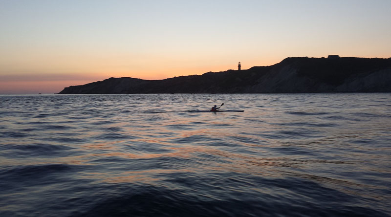
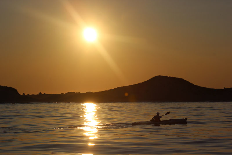
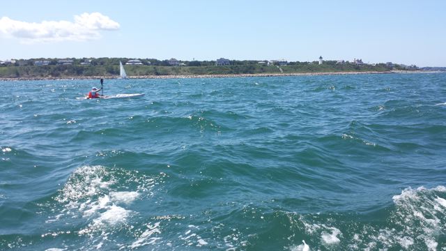
Past that rip, I veered offshore to stay in the best current along the south side of Middle Ground, and finally arrived at a calm spot to kick back and take a short drifting break. Starting up again, I knew it wouldn’t be long until my angle would reveal the next headland beyond the bulk of nearby Makonikey Head– Aquinnah itself about 12 miles distant! As the sea surface calmed and the ebb current accelerated beneath me, my ultimate destination came into view… and right on cue, the lighthouse beacon blinked out its welcome. I was in the home stretch, and riding a stronger current than any I’d seen in training, easing back on the stroke and heart rate, yet easily maintaing 7.5 mph.
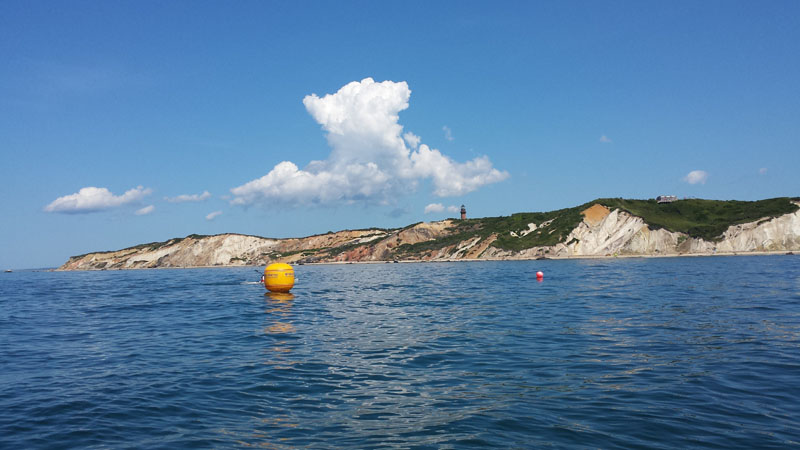
Aquinnah is in sight!!
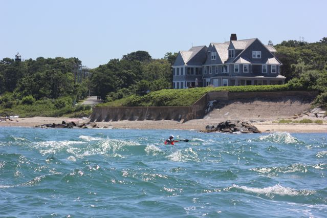
I was now paddling a dream come true– a gorgeous, sunny August afternoon on Vineyard Sound with the lightest of cooling breezes and a roaring current pulling me home, past all the familiar landmarks: Lamberts Cove, Paul’s Point, Cedar Tree Neck, and the steep sand face of Menemsha Hills. While I’d been too focused ahead to look up, the crew aboard ZEPHYR did see Air Force One fly over en route to Camp Edwards on the Cape, and thereafter Marine One and escorts fly back across the Sound with the first family aboard… I don’t know if they were yet in residence above Menemsha Hills as I passed by– but luckily, I was at least 2-1/2 miles offshore at that point, so did not encroach on the 1000-yard maritime perimeter (Walter Teller, returning to Menemsha earlier aboard JUNO was not so fortunate, being stopped and instructed– politely but firmly– to move further out before proceeding).
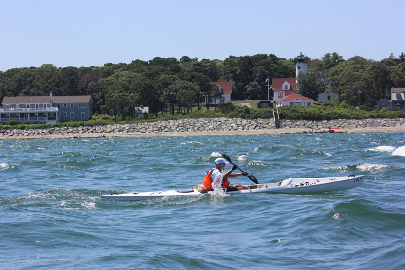
Passing Menemsha Hills

Final Break
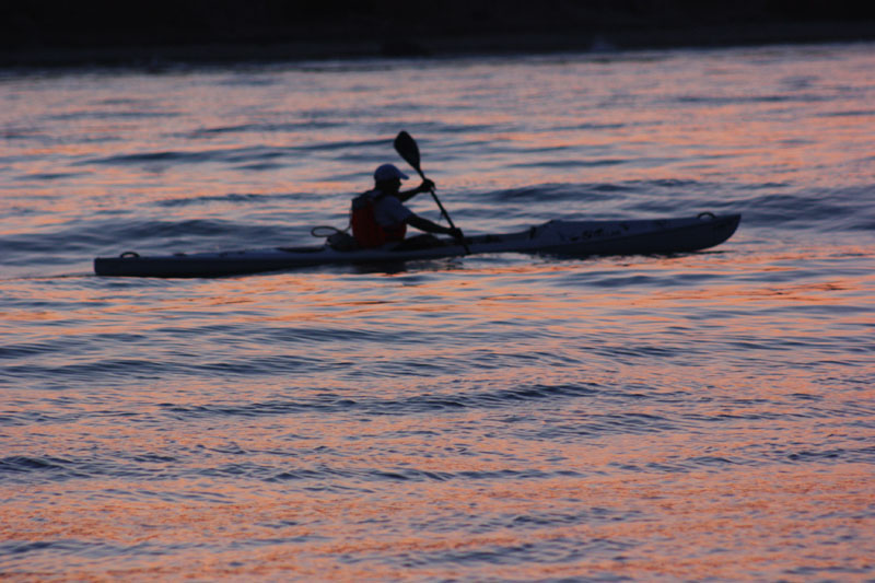
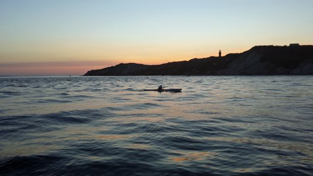
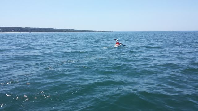
After one last break to eat half a Power Bar, it was time to wrap it up with about 5 miles to go. The current was still strong, 7+ mph, and as I did the math I realized I was definitely going to finish before the 3PM kickoff to the Finish Line Party on the Aquinnah Shop deck atop the Cliffs. Anything before 2:30 would mean a sub-9 hour time, Start-to-Finish including the break at Cape Poge…. but once in Menemsha Bight the current began to abate, as I expected, and I was back down in the 6s. I tried to maintain that pace but the current continued to drop off and, once off the northern tip of the Cliffs it actually turned and began flooding against me for the final half-mile.
The End is in sight
I mustered the best finishing kick I could, and crossed the Finish line at 2:44PM, to the boom of a cannon from the Lighthouse grounds, for a total time of 9 hours and 14 minutes, actual paddling time of 8 hours 51 minutes…. but since I would have been much, much slower without the break at Cape Poge, in my mind the new record for circumnavigation-by-paddle is 9:14.
Pushing to the Finish
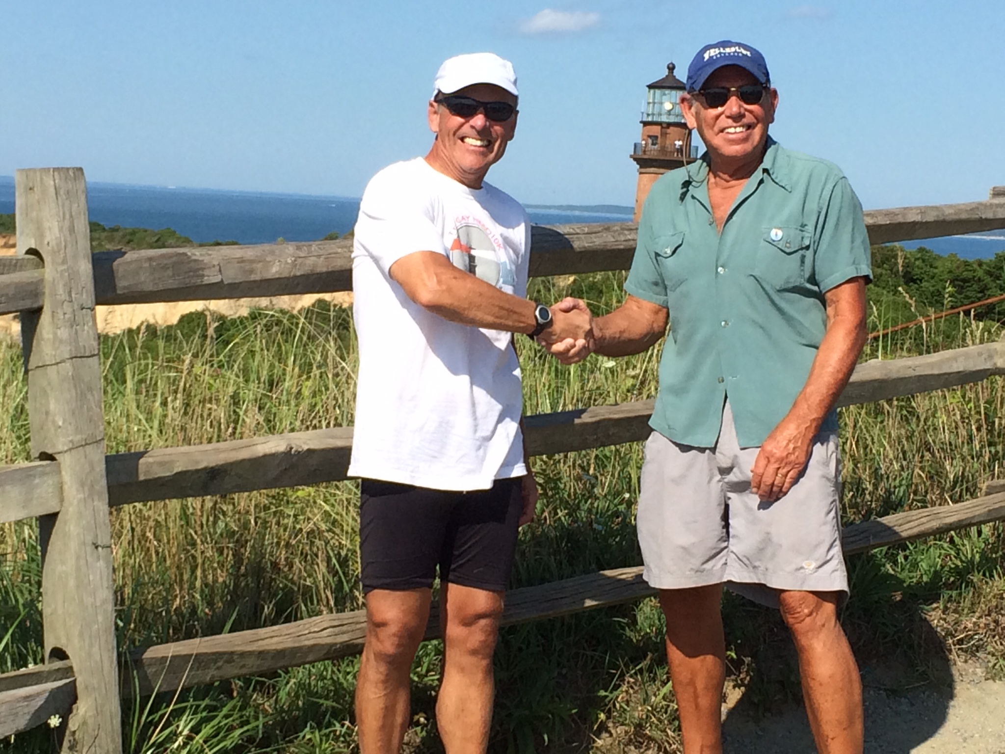
Done Deal
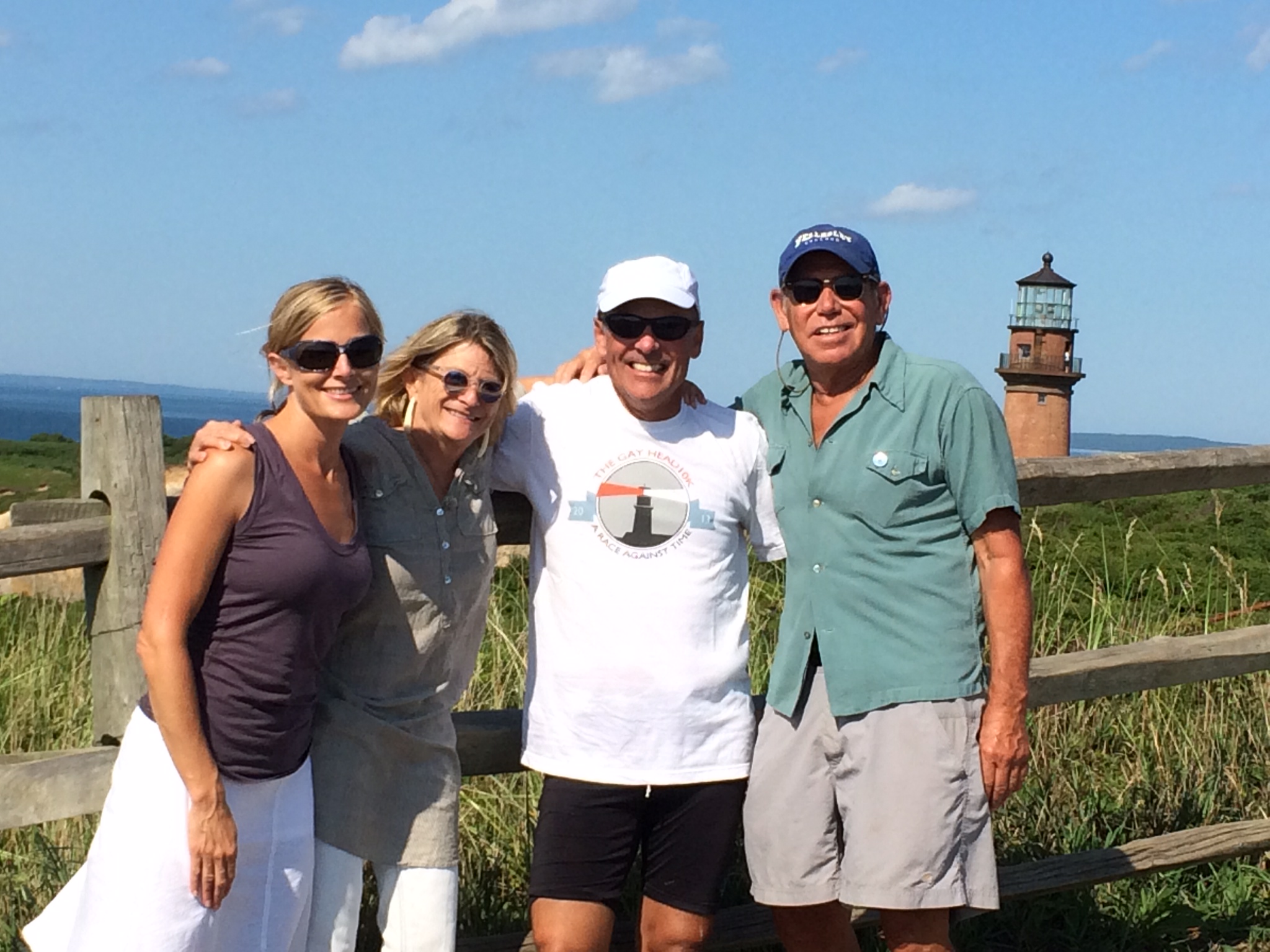
After rejoicing with my chase boat crew and shooting the mandatory “selfies”, I paddled happily back to the beach I’d launched from at 5:05 AM, hauled out and headed for the Aquinnah Shop and a wonderful gathering with friends and supporters of the Light on the deck…. continuing into the early evening to marvel at the incredibly benign conditions which has persisted from pre-dawn to sunset; it was indeed a roll of the dice, but when we’d circled August 9th four months earlier, we most definitely hit the jackpot…. a day I’ll never forget, from Start to Finish.
There are many people I’d like to thank for helping make this happen, starting with my good friend Barry Sullivan who first planted the seed at last fall’s 10K “Race Against Time” road race for the Lighthouse, when he complimented me on the article I’d written about my first circumnavigation in 2012; I mentioned that since there was a record to be broken, I fully intended on paddling around a second time…. and thereafter we put two and two together. Meg Bodnar, Mitzi Pratt and Tiffany Smalley met with me in April and have worked steadily since to iron out the many details; Paula Eisenberg joined us in May and provided immeasurable technical assistance, from setting up the fundraising web page, and this Training Blog, to maintaining a strong presence for the project on social media and managing the Facebook and Twitter feeds from Tad Thompson during the paddle itself. Maura Fitzgerald and Jillian Saftel assisted with public relations and press releases; thanks also to Len Butler, Richard Skidmore, Martha Vanderhoop and William Marks for all they do for Gay Head Light– and to the Vanderhoop family for making their unparalleled overlook available for the after-party.
A huge thanks to Walter Teller for his willingness to depart Menemsha pre-dawn, meet me off the Cliffs spot-on at 5:25, drop the Start buoy and and then provide escort down the long, lonely Atlantic stretch…. and likewise to Chris Reed who shadowed me like a mother hen from Cape Poge to the finish, warding off any powerboats which came too close on a converging course. Also to the crews for their support, encouragement and company; how lucky we were to enjoy such a spectacularly beautiful summer day on the water. Barry and Dottie Sullivan and Meg and Jay Bodnar also provided essential lodging so this Edgartonian could awaken pre-dawn and launch from Aquinnah for two important distance training workouts, plus the big event itself. A special thanks to my great neighbors, Tad and Debbi Thompson, who took a particular interest in this project early on and continue to help still, assembling a wonderful slide show of their many photos which capture the beauty and spirit of the adventure. Finally–and again– thanks to my good friend Tim Wolff who was willing to drive me to launch sites at sunrise, and pick me up at far-flung harbors three or more hours later, making otherwise complicated training paddles very simple. I could not have done this without the help and encouragement of everyone involved– and the weather gods did their part, too!

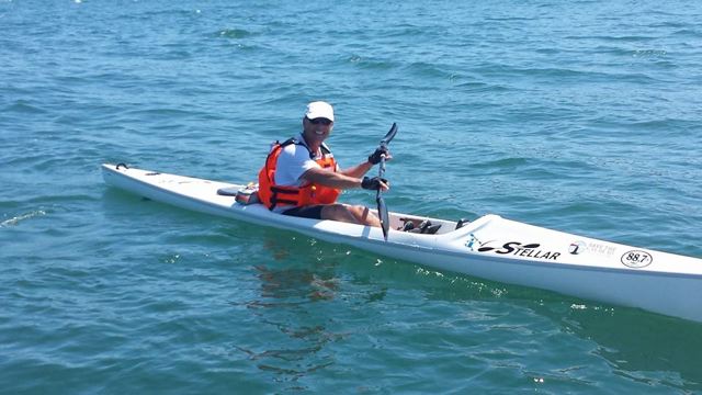
All smiles after 52 miles
Photo slideshow: